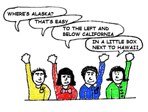
When the United States purchased Alaska for 2 cents an acre in 1867 it created a real geographic anomaly for the US. This might be hard to believe but Alaska is the most Northern, Western and Eastern State in the US. But how can this be when it borders the Pacific Ocean near the Arctic? We will try our best to explain this for you and hope it makes sense.
It is simple to see that Alaska is by far the most northern US state. As far as westward the next closest is Hawaii which actually lies further to the east than Alaska. Hawaii is also the southern most US state, stretching further than Florida or Texas. So we know that Alaska lies further to the west than any other state so how can it be the furthest east also? To come to this conclusion you need to look no further than a globe of the world. On this globe you will find the answer.
The Alaskan Aleutian Islands lay beyond the 180° meridian longitude, which is measured from Greenwich, thus placing them in the Eastern hemisphere. In other words it would be a shorter trip to travel to Greenwich if you headed west than it would be if you went east. We know that it’s an imaginary line, but the reality is that the distance back to Greenwich would be a shorter one if you went west.
But for practicable reasons Alaska is only thought of as being the furthest Western and Northern State. Of the mainland southern states Maine is the furthest east, Washington the farthest to the west, Florida the furthest state to the south and Minnesota is actually the furthest north. Although it appears on maps as Maine is further north it lies at 49° while Minnesota lies 49°23′ well north of any point of Maine.
You might be interested in these facts too:
- Why are moose more dangerous in Alaska than bears?
- Alaska was purchased for 2 cents an acre
- The official animal of Madison, Wisconsin is the plastic pink flamingo. Find out why?
- The most dangerous animal in the world is the mosquito. Discover why.
- Dangerous insects. What are the top 10?

